
Asheboro ZIP Code Coverage
Local planning material identifies a practical three-ZIP set for Asheboro: 27203, 27204, and 27205. This is a postal planning reference, not a promise that every parcel inside the municipal boundary shares one delivery label. USPS remains the address authority. The county property system and GIS can add parcel context, but neither replaces a current postal lookup for a particular street address.
| ZIP | Areas Covered | Post Office | Notes |
|---|---|---|---|
| 27203 | Standard Asheboro street-delivery area | Asheboro Post Office | Use USPS for the specific address result |
| 27204 | Asheboro mailing and P.O. Box pattern | County and local mailing addresses | Exact box-only classification was not fully located |
| 27205 | Broader or outer Asheboro area on the planning map | Verify by street with USPS | Official USPS city/state rows were not captured |
The Asheboro Post Office details page identifies the inspected facility at 1030 S Church St. in 27203 and provides its public contact information.
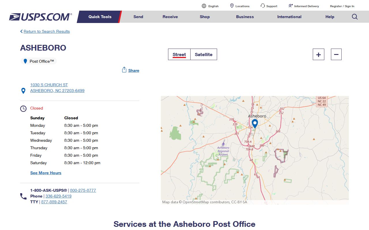
The facility record is useful postal context, but an address-level USPS result controls the final delivery ZIP.
For Asheboro addresses, keep the Asheboro postal result with the Asheboro street form and Asheboro lookup date.
Note: A planning map identifies the practical local set, while USPS determines the current result for a street address.
Asheboro ZIP Search Limits
The Randolph County Real Property Tax Search is helpful after a ZIP has narrowed an address, but the inspected form does not expose a ZIP-only search. It accepts owner or business name, location address, REID, and PIN. A public search that accepts 27203 and returns every resident was not located. Use one record at a time and keep the result limited to its actual fields.
| PWA field | Type | How it is used | ZIP-only option |
|---|---|---|---|
| Owner or business name | Text | Last name, first name, or organization name | No exposed field |
| Location address | Address text | Street number and name, without street type or direction | No exposed field |
| REID | Identifier | County real-estate identification number | No |
| PIN | Identifier | Parcel identification number | No |
The PWA's daily-changing parcel record can show owner, mailing address, location address, legal description, REID, PIN, deeds, sales, map, and tax tabs. A mailing address can be a P.O. Box or other correspondence destination, so it is not automatically the location of a household.
For Asheboro parcels, an Asheboro REID and Asheboro PIN keep an Asheboro record trail tied to the actual parcel.
Note: The absence of an exposed ZIP-only PWA field is a limit, not a reason to infer a ZIP-wide result from individual parcel cards.
Asheboro ZIP Research Steps
A ZIP can organize a lawful address study without becoming a shortcut around the actual records. Start with an address and capture the postal result. Then compare the parcel's situs, mailing, and legal-description fields. If a broader public record is needed, the closest official route is a county or precinct voter-file request, not a claim that the individual voter lookup searches by ZIP. North Carolina law permits certain voter-list requests, subject to the public and confidential field split.
- Enter the full address in USPS ZIP Lookup and save the standardized result and date.
- Use the street address in the Randolph property search to identify the current parcel, REID, and PIN.
- Open the Randolph GIS viewer for road, parcel, district, and map context.
- For a lawful county or precinct request, contact the Randolph Board of Elections about available list fields and cost.
- For a named street after the ZIP is verified, use the Asheboro street directory for the address-focused record trail.
The voter lookup requires first name, last name, and a voter-status choice, with optional middle initial, birth year, and county. It is an individual lookup, not a downloadable ZIP directory. Protected addresses and confidential fields remain outside ordinary public use.
Asheboro research should identify the Asheboro record type, Asheboro source date, Asheboro ZIP, and Asheboro jurisdiction separately.
Asheboro ZIP Boundary Mismatches
ZIP boundaries are postal routes, not city limits. Asheboro annexation can change whether a parcel is inside the city while its delivery ZIP remains the same. The 2009 and 2023 session laws identify parcel-based annexation areas, so compare a current GIS city-limit layer, the tax card's city or jurisdiction field, and the relevant session-law map or parcel identifiers. A change in one label does not prove that the postal address also changed.
The 2023 Asheboro annexation law documents one of those municipal changes.
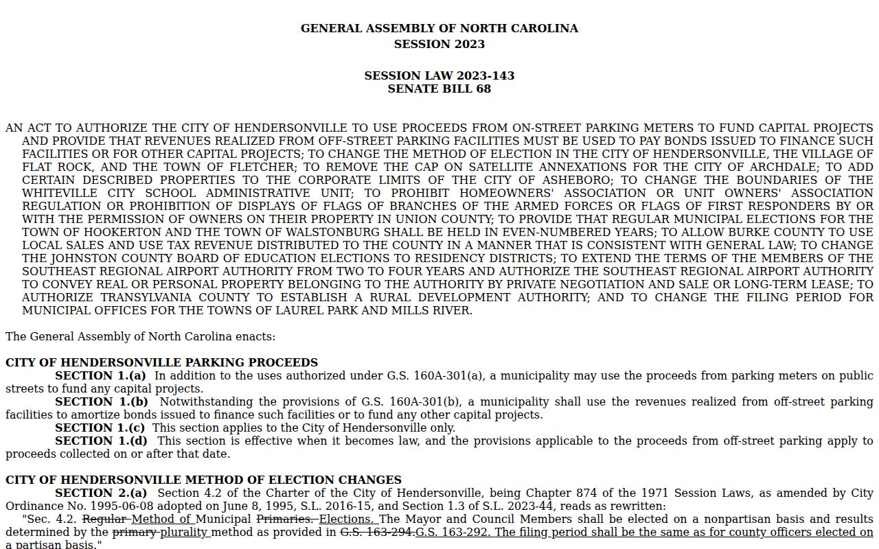
It is evidence about municipal territory, not a USPS delivery map or proof of a postal reassignment.
- ZIP versus ZIP+4
- The five-digit ZIP identifies a delivery area; the added four digits narrow delivery sorting for a specific address or mail segment.
- P.O. Box ZIP
- A ZIP used for post-office box mail, which can differ from the ZIP of a street location.
- Unique ZIP
- A ZIP assigned to one organization or special delivery destination. None was verified for Asheboro in the reviewed sources.
- Carrier route
- A postal delivery sequence within an area, not a municipal boundary and not a Census geography.
An Asheboro city-limit layer, Asheboro parcel field, Asheboro postal result, and Asheboro annexation map serve different purposes.
Asheboro ZIP Geography
Census ZCTAs are generalized statistical areas, not live USPS delivery routes. Asheboro's city polygon intersects ZCTAs 27203, 27205, 27239, 27317, and 27350. The last three are boundary-intersection facts only. They do not establish that an Asheboro mailing address uses those ZIPs. When a source uses a ZCTA, label it as Census geography and verify any real address with USPS instead.
The Census profile for Asheboro illustrates the broader city geography behind that distinction.
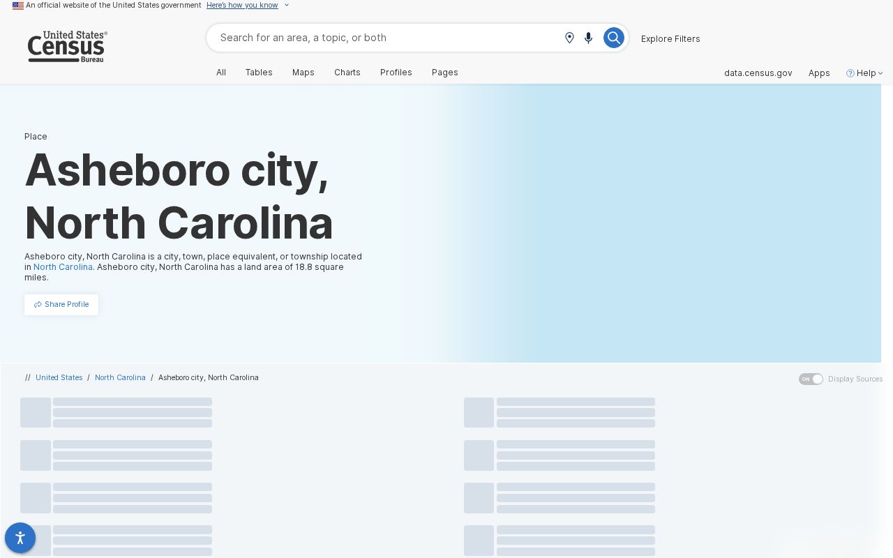
The profile provides city-level context, while a ZCTA should never be substituted for a checked mailing result.
For Asheboro, an Asheboro ZCTA label and an Asheboro delivery label should remain separate in each Asheboro record note.
Note: City, county, postal, school, fire, and Census boundaries can overlap without matching each other.
Asheboro ZIP Address Changes
Historical records add another layer. Main Street was called McCulloh Street in older deeds, and the city name appears as Asheborough, Ashboro, and Asheboro before postal standardization on January 10, 1923. A result that fails under a current street label may need the old wording in a deed, directory, newspaper, or OCR search. The lack of a verified citywide renumbering list is a real limit, so use a lot, plat, legal description, REID, or PIN when a name change creates doubt.
The local architectural-history source documents the McCulloh Street bridge. It supports careful comparison, not a rewrite of an older record into a current postal format.
Asheboro researchers can retain the Asheboro historical spelling beside the Asheboro current spelling in an Asheboro address note.
Asheboro ZIP Annexation Context
The 2009 annexation law is a second local reminder that municipal territory and delivery systems move on different tracks. A parcel can retain its postal label while its city status changes, and county deed or tax records can retain older references. Use the source date attached to each record. Then compare the current GIS layer with the parcel card and postal result instead of treating a single field as the full answer.
The 2009 Asheboro annexation law records that earlier municipal action.
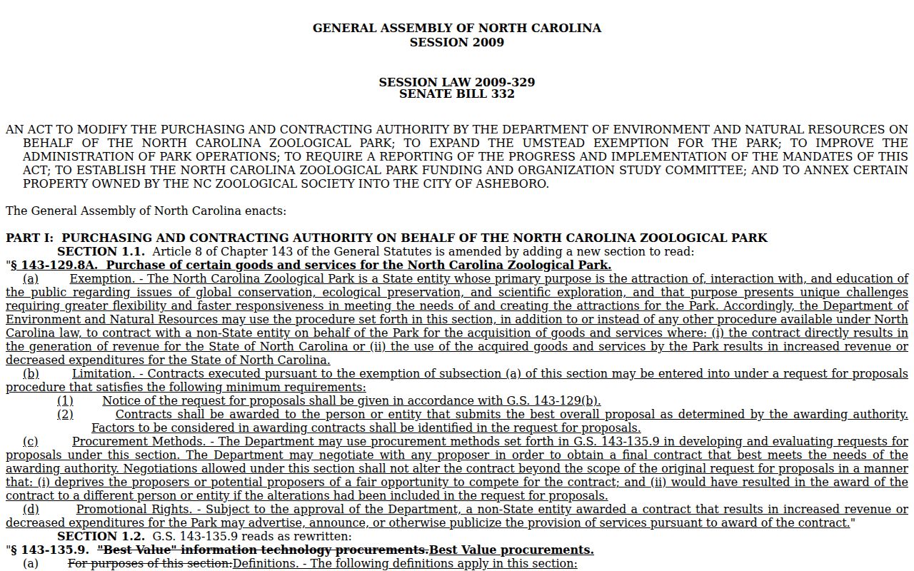
Read it with current postal verification and parcel data, because annexation evidence does not set a delivery ZIP.
An Asheboro worksheet should keep the Asheboro address, Asheboro USPS result, Asheboro parcel identifier, Asheboro city status, Asheboro source date, Asheboro map, and Asheboro historical label.