
Tracing an Asheboro Street Directory
An Asheboro address-based search works best as a chain. Start with the Asheboro location address, identify the parcel, then use the parcel’s legal description and deed reference to keep the record trail on the right property. A person’s name may appear as owner, taxpayer, registered voter, directory occupant, trustee, or business party. Those Asheboro labels are different. The Asheboro street directory is most useful when each source is recorded with its date and purpose.
- Enter the Asheboro street number and street name in Randolph’s property search. Leave out the street type and direction, as the county instructs.
- Save the Asheboro REID, PIN, location address, owner, mailing address, deed reference, and legal description from the parcel summary.
- Use Asheboro GIS Road Summary and All Addresses to inspect the road segments and parcels along the named street.
- Search the Asheboro deed book and page or current grantee in the Register of Deeds index. Read the grantor, grantee, date, and legal description before moving backward.
- For historical Asheboro occupancy, compare the address in a Miller street section with the alphabetical listing and the appropriate directory year.
An Asheboro name-first question needs a different approach. The public voter lookup is an individual search, not an anonymous street browser. An Asheboro county or precinct voter file may be requested under the state statute, subject to the public-field limits and actual costs.
Asheboro Address Search Fields
The Asheboro-area county Property Tax Search keeps its four search modes separate: Owner or Business Name, Location Address, REID, and PIN. The location form accepts an Asheboro street number and street name. It specifically says not to enter a street type or direction. That small rule matters when a familiar address returns nothing. Try the Asheboro street stem, then confirm the result in the map and legal description.
| Field or tab | Asheboro street-directory use |
|---|---|
| Location Address | Enter street number and street name without a suffix or direction. |
| Owner or Business Name | Use last name, first name or business name after the address identifies a parcel. |
| REID and PIN | Keep the parcel identifiers as the stable bridge to GIS and tax-card detail. |
| Deeds and Sales tabs | Use the references as leads to the recorded instrument, not as a substitute for it. |
The Asheboro parcel summary can show location and mailing address, property description, values, acreage, deed or sale tabs, tax bill, and map. An Asheboro mailing address may lead to an office, post office box, estate representative, or tax recipient. The street directory should retain the county’s label instead of calling it a residence.
The Randolph parcel-summary example shows the categories that a current tax record may expose.
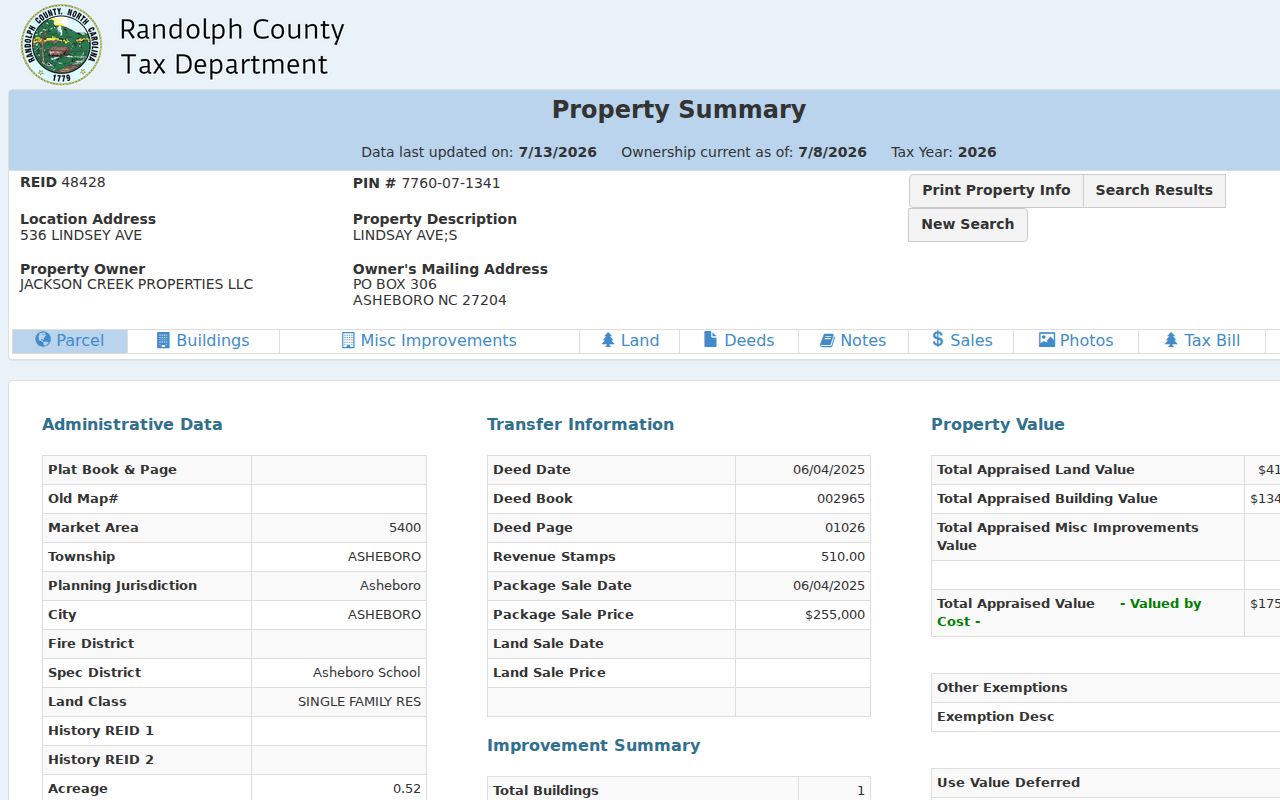
The Asheboro screen is an inventory of available fields, not a stable statement about the illustrated parcel or its owner.
Browse Asheboro Roads in GIS
Randolph GIS in Asheboro is better than the tax search for working a whole road. Select Roads, ROAD NAME, choose the suggestion instead of pressing Enter, and open Road Summary for the Asheboro addresses associated with that road segment. Address searching can expand multiple addresses and All Addresses. Short search strings return starts-with suggestions, so a complete road name gives a more useful set.
The Asheboro map also separates parcels, structure addresses, condominiums, building-only features, roads, and soil-survey objects. Add Buffer and Select on Map can collect features around a point, line, or polygon. The county guide gives 200 feet as an example buffer distance. An Asheboro road may cross city limits, ZIP boundaries, fire districts, and unincorporated pockets, so one autocomplete result is not necessarily the full street.
The Randolph GIS overview introduces the county map service and its record-data caution.
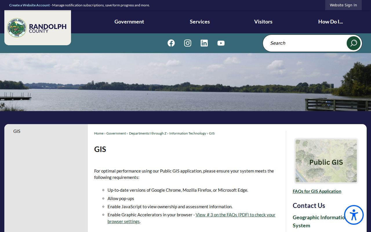
Use a mapped Asheboro parcel to organize the search, then check deeds and plats for the legal record.
Note: Asheboro GIS shows compiled data from deeds and plats, but Randolph County says the map is not a legal document.
Follow an Asheboro Parcel to Deeds
An Asheboro parcel is the key to a defensible street-by-street trail. Find the current owner and deed book and page in the Asheboro tax card, then search the Register of Deeds by grantee or book and page. Read the seller, buyer, legal description, subdivision, lot, and recording details. Search that seller as an earlier grantee, using the same lot or description to avoid a same-name mistake. Repeat only when the Asheboro property description still matches.
Randolph’s Asheboro-area online real-estate index begins January 1, 1986. The county identifies Books 1071 through 1172 as an older bridge, and Asheboro plat books run from Book 1 to current. When online images stop, use those historical books, office indexes, microfilm, or an office visit. An Asheboro book and page ending in E is a Clerk of Court lead, not a Register of Deeds instrument.
The Randolph real-estate records page explains the name, book and page, subdivision, date-range, and document-type paths.
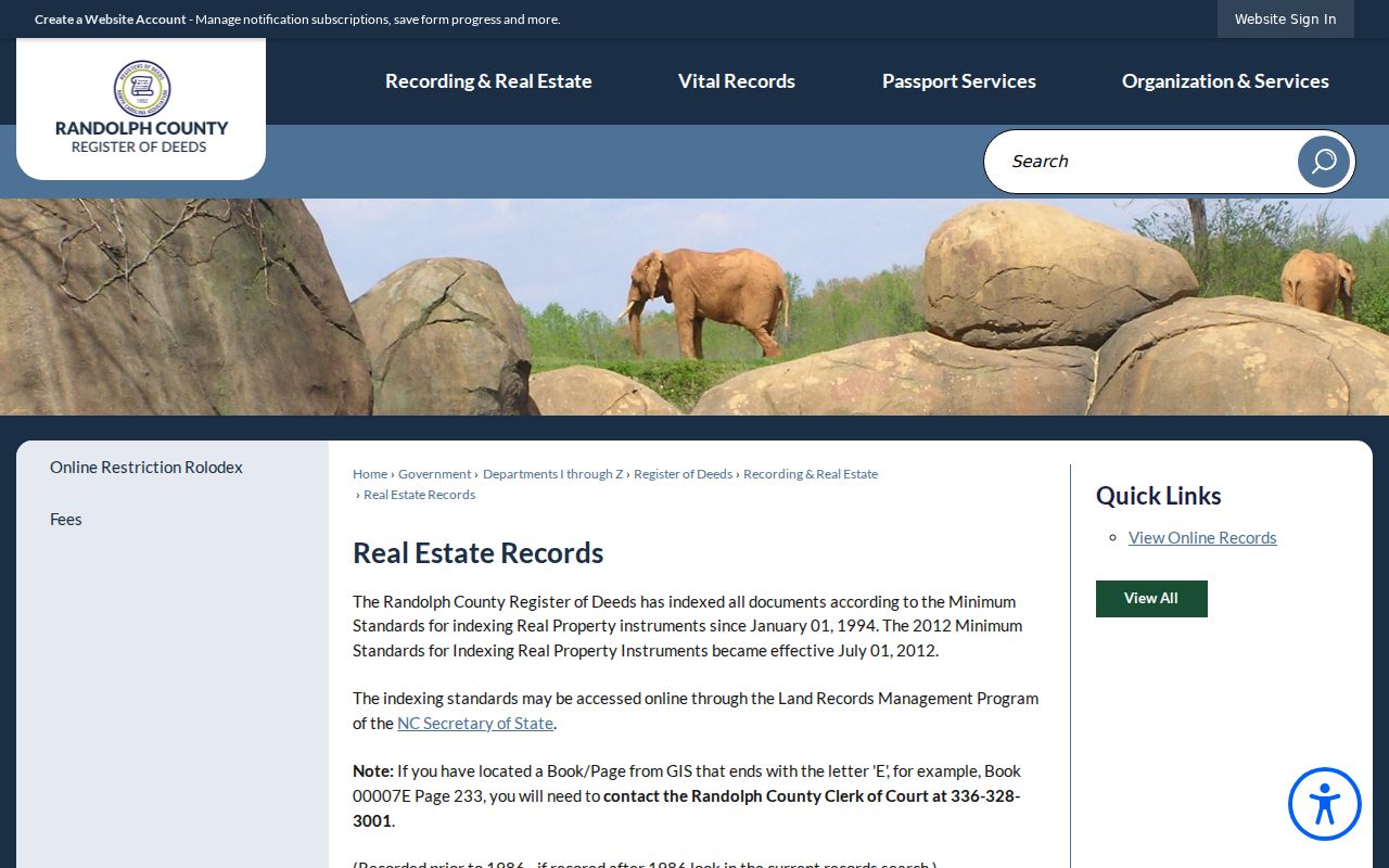
Asheboro legal descriptions and plats can bridge a changed street number, while an owner name alone often cannot.
- Parcel
- A mapped county property unit, normally linked to a REID or PIN.
- Situs address
- The location of the parcel or structure, distinct from where tax mail is sent.
- Plat
- A recorded map showing lots, roads, and subdivision geometry.
- Criss-cross directory
- An address-first listing that can identify a historical occupant before an alphabetical cross-check.
Asheboro Street Records by Source
The records below are keyed to an address, parcel, road, or related legal description. They do not all describe the same person. A current taxpayer can differ from an occupant, a voter, a prior owner, a permit applicant, or a historic directory listing. Keeping the fields separate makes an Asheboro street directory more useful for family history, property questions, and personal record research.
| Address record | Custodian | Street-level evidence | Access route |
|---|---|---|---|
| Asheboro property tax card | Randolph PWA | Owner, mailing and situs, REID/PIN, values, deeds and sales | Free online search |
| Asheboro GIS road and parcel view | Randolph GIS | Road segments, parcels, addresses, zoning and district layers | Free online viewer |
| Asheboro deed and plat index | Register of Deeds | Parties, book and page, legal description, lot or subdivision | Online from 1986 and office route |
| Asheboro voter list | Board of Elections | Public registration fields and address where law permits | Individual lookup or county-file request |
| Asheboro permit workflow | Central Permitting and eSuite | Development, building, fire, zoning, or environmental-health context | Current workflow, fields and history not fully located |
Save the Asheboro source date, record type, parcel identifier, and exact spelling with each result. That worksheet prevents a street search from blending a taxpayer, a prior seller, and a historical directory occupant into one claim.
Asheboro Voter Lists by Request
The Asheboro individual state lookup requires a person’s first and last name plus a status, so it cannot browse a road. North Carolina General Statute §163-82.10 instead allows an Asheboro county or precinct voter-list request. Public list fields can include name, county voter ID, residence and mailing address, party, age rather than full birth date, precinct, districts, and voting history. Actual reproduction cost applies, and a magnetic-medium service charge may be up to $25.
Ask the Randolph Board of Elections in Asheboro about the available format and current cost. Full birth date, Social Security numbers, email, driver-license information, photo or ID copies, and protected addresses are confidential. Address Confidentiality Program and court-protected voters remain important exceptions. An Asheboro registration status is a record status, not a guarantee that a person is present at an address today.
Read Asheboro Street Directories Historically
Miller’s selected Asheboro and Randolph directories provide the Asheboro historical reverse method. In the street section, start with the Asheboro street name and house number, then record the listed occupant. Check the alphabetical section for spouse or household notation, occupation, business, and abbreviated address clues. The 1939/40 section includes Carolina Avenue and South Cherry Street examples, among other Asheboro addresses.
DigitalNC preserves selected Asheboro runs from 1937/38 through 1962, while the Randolph Room also has a confirmed 1941/42 volume. The series is not known to be continuous. A listed Asheboro household could be a renter, boarder, spouse, business occupant, or owner, so pair it with deeds, census material, or obituaries before making a stronger historical claim. The detailed collection work belongs on the Asheboro city-directory page.
Asheboro Street Names Across Time
Historic terms can make a modern street search miss the right record. Asheboro was recorded as Asheborough and Ashboro before postal standardization to Asheboro on January 10, 1923. Local architectural history identifies McCulloh Street as the earlier deed name for Main Street. Test the old city spellings, McCulloh, and the modern street name in deeds, directory scans, and newspaper searches.
The original 1796 Asheboro town plat contained 42 one-acre lots around the courthouse square. That Asheboro history explains why a lot, plat, or legal description may be more durable than a current street label. A complete citywide renumbering list was not located, so a failed address search is a reason to compare maps and descriptions rather than evidence that no older record exists.
Asheboro Permit Records at an Address
Randolph Central Permitting serves Asheboro zoning, building, electrical, plumbing, HVAC, wells, septic, flood, and special-use work in the county area. The Asheboro eSuite workflow supports building, fire, planning, zoning, and environmental-health requests. An unassigned-address parcel cannot be searched there. The resident path is limited to an owner living in the home and requires a parcel number, while contractors must register or request an account.
Asheboro permit evidence can help date a project or identify an owner or applicant in a documented transaction. Exact public result fields and the historical search span were not located in the official sources. No official searchable index was located for street-based code-enforcement cases, utility hookups, city animal licenses, or alarm permits. A focused Asheboro Public Records Act request should name the parcel, address, date range, and record type.
When an Asheboro street search reaches an unassigned parcel or a missing permit result, preserve the parcel number and contact the right county desk rather than guessing from the map. Randolph lists Addressing at 336-318-6551, Building at 336-318-6565, and Planning and Zoning at 336-318-6555. An Asheboro request for an existing permit card or development record should ask for the record already held, with the address, REID or PIN, and the narrow time period that matters.
Asheboro Street Directory Privacy Limits
A street directory can identify public parcel and recorded-document relationships, but it cannot safely fill every household gap. Utility customer access is an account process, not a public resident search. Motor-vehicle personal information is restricted by federal law. Public voter information also has confidential fields, and protected addresses must not be pursued through another source.
When the source trail does not support an answer, retain the gap. The county map is not legal proof, a tax-card mailing address is not automatically a residence, and a historic directory entry does not establish current occupancy.
Note: A careful source label is more reliable than a confident guess about who belongs at an address.