
Asheboro Neighbor Sources
An Asheboro block inquiry works best when each source has a narrow role. Asheboro-area Randolph GIS draws the current parcel pattern and exposes nearby REID or PIN identifiers. The Asheboro Property Search then identifies the taxpayer, mailing destination, situs address, sales, and deed tabs. Recorded Asheboro deeds and plats explain the legal relationship between lots. Historical Miller volumes and Sanborn maps can add a dated Asheboro address clue, but neither proves present occupancy. The voter system is an individual name search, not an anonymous street-browse tool.
| Source | What It Shows About a Block | Access |
|---|---|---|
| Asheboro-area Randolph GIS | Current parcels, road segments, addresses, REID/PIN, and map layers | Free viewer, with a map-data caveat |
| Asheboro Property Search | Taxpayer, mailing and situs fields, values, sales, and deed tabs | Free current tax portal |
| Asheboro Register of Deeds index | Recorded instruments, lots, subdivisions, plats, and prior parties | Online index from 1986, older books at the office |
| Asheboro Miller directories | Dated street-section occupants and business-address entries | DigitalNC and Randolph Room selected runs |
| Asheboro Ashborough HOA | Published board, covenants, calendar, and design-review materials | Private association, not citywide |
Asheboro parcel ownership and residence are different facts. An Asheboro P.O. box, business office, estate representative, or former owner can appear as the mailing contact. Treat a map result as a source-labeled parcel relationship, not proof that people know one another or share a household.
Asheboro Block Buffer Method
Asheboro-area Randolph GIS provides the county's official adjacent-parcel method. Search for the target Asheboro address, use a visible parcel layer, select the parcel, and choose Select on Map when needed. The user guide gives a 200-foot buffer as an example. Add Buffer places the selected Asheboro features in Details, where each parcel can be examined before any name or address is copied into an Asheboro research note.
- Find the Asheboro address or select the parcel, then record its REID or PIN and legal description.
- Apply a measured buffer and review the Asheboro Details list instead of assuming the first nearby map object is a parcel.
- Open each linked Asheboro tax assessment to compare the situs address, owner label, and mailing destination.
- Use the Asheboro deed book and page to examine the recorded instrument, lot, or subdivision when a boundary needs confirmation.
The resulting Asheboro list is geographic. It does not establish a social connection, current presence, or a shared household. For an Asheboro road-long sequence rather than an immediate radius, the Asheboro street directory follows the Road Summary and address record chain.
Note: County GIS compiles public source material but is not the legal document, so deeds and plats remain the primary confirmation.
Asheboro Neighbor Map Layers
Asheboro map labels need careful reading. GIS can search Asheboro Parcels by REID, Roads by ROAD NAME or ROADID, owner, address, and property description. Its road results can show segments and Road Summary addresses, while an address search may expand to All Addresses. The interface also separates Search, Details, Map, and History. That separation is useful when an Asheboro address returns more than one structure or when a road crosses a ZIP or jurisdiction line.
The Asheboro Identify tools distinguish parcels, structure addresses, condos, building-only features, roads, and soil-survey features. Those are not interchangeable objects. An Asheboro condo or building-only result beside a parcel does not automatically represent a separately owned adjacent lot. Zoning, flood, watershed, soil, tax district, election district, and current orthophotography layers add land-use context, not proof about a resident.
Randolph County history appears in this Asheboro neighbors image. It provides place context, while the live GIS and recorded documents establish a current parcel trail.
The county history resource can clarify old place names. The February 2022 orthophotography remains visual context, not legal evidence.
Asheboro Parcel Owner Trail
The Asheboro Property Search accepts Owner or Business Name, Location Address, REID, and PIN. Asheboro address search uses the street number and name without a street type or direction. An Asheboro parcel summary can show owner, mailing address, situs address, legal description, acreage, values, deeds, sales, photos, tax bill, and map tabs. The tax system changes daily, so record the date checked rather than treating a card as permanent.
Next, use the Asheboro book and page or the current grantee in the Register of Deeds index. The instrument supplies the grantor, document date, and legal description. A plat can bridge an Asheboro street address to a lot or subdivision. The online real-estate index begins in 1986, with historical Books 1071 through 1172 and office research serving as the older path. A book or page ending in E in GIS signals a Clerk of Court matter.
Asheboro-area Randolph Central Permitting appears in this Asheboro neighbors image. Permit categories can supply an Asheboro parcel-related event, but the inspected material did not establish a public historical field set for every permit type.
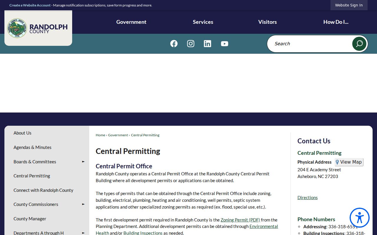
Permit material should remain separate from tax and title evidence. It can support a date or project question without identifying who occupies a location.
Randolph eSuite is shown in this Asheboro neighbors image. It is the current online workflow for building, fire, planning, zoning, and environmental-health permits.
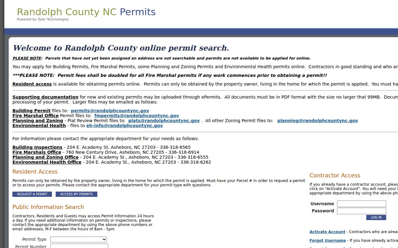
Some eSuite functions carry account, owner-occupancy, or parcel rules. A missing result does not establish that no record or structure exists.
Asheboro Recorded Volume
Recorded instruments place an Asheboro block in a larger county record system. Randolph's adopted FY26 budget reports 5,242 deeds and 3,649 deeds of trust in FY2023-24, with higher deed and deed-of-trust estimates for the following two fiscal years. Those are office workload figures, not a count of Asheboro residents or households. They do explain why an index result should be read with its document date, instrument type, and parcel description instead of being treated as a current personal profile.
Randolph's FY26 adopted budget provides the recorded-document figures. A changing Asheboro title trail should always return to the recorded deed, plat, or custodian when the index leaves a question unresolved.
Asheboro Neighbor History
Past Asheboro block research uses different evidence. Asheboro Miller street sections can be read from street to house number to listed occupant, then checked in the alphabetical section. Digital copies exist for selected 1937/38, 1939/40, 1947/48, 1949/50, 1951/52, 1955/56, 1960, and 1962 runs. The Asheboro Randolph Room also holds Sanborn material for 1910, 1922, 1931, and 1950. Maps describe an Asheboro building footprint, use, and street geometry, not a person inside the building.
Asheboro's address trail may also use older language. Asheboro Main Street was once McCulloh Street, and historical searches can require Asheborough or Ashboro spellings. Compare the Asheboro deed's legal description with the street section and map year before joining records. A directory entry can describe an owner, renter, boarder, spouse, or business occupant.
Asheboro's records history adds useful limits to an older block trail. The county-seat town was incorporated in 1796, and postal standardization settled on Asheboro in 1923. A modern address can therefore sit beside older descriptions using a different town spelling or street label. The local directory runs are selected rather than continuous, so an absent Asheboro listing may reflect a missing edition, a variant spelling, or a changed address. The Randolph Room's surname files, obituary indexes, and microfilm offer a library route when a digitized Asheboro volume ends. Pair every historical Asheboro clue with a source date, then compare it with the deed, plat, or court record that carries the relevant legal relationship.
Note: No complete citywide street-renumbering list was located, so historic address matches require lot, plat, and source-date checks.
Asheboro Community Associations
Published Asheboro organization material adds an organizational layer, not a census of the block. The one verified current Asheboro association resource is Ashborough HOA. It publishes announcements, a calendar, current board directory, covenants, and design-review forms. County Boards and Committees lists public civic bodies including the Neighborhood Information Meeting, Planning Board, and Historic Landmark Preservation Commission. None of those listings establish private membership or a home address.
| Organization resource | Published material | Scope |
|---|---|---|
| Ashborough HOA | Board directory, calendar, covenants, design-review forms, and announcements | Private and selective association |
| Randolph Boards & Committees | Public civic-board information, including planning and historic-landmark resources | County civic activity, not a resident directory |
Ashborough HOA is shown in this Asheboro neighbors image. Its public material is useful for the association's stated activities and published officers only.
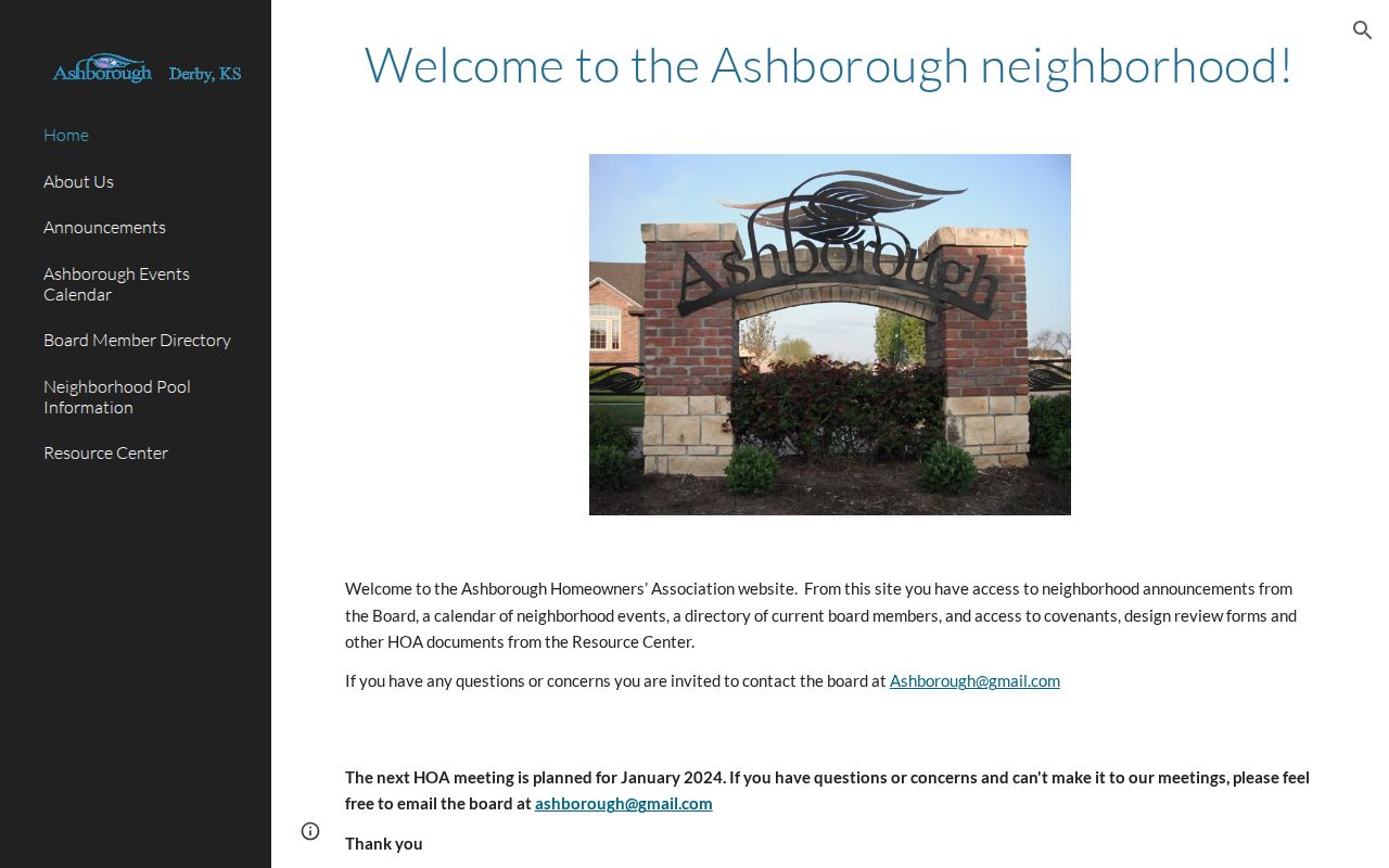
Ashborough is not an official citywide directory. Research did not locate a complete official list of Asheboro HOA or neighborhood-association directories.
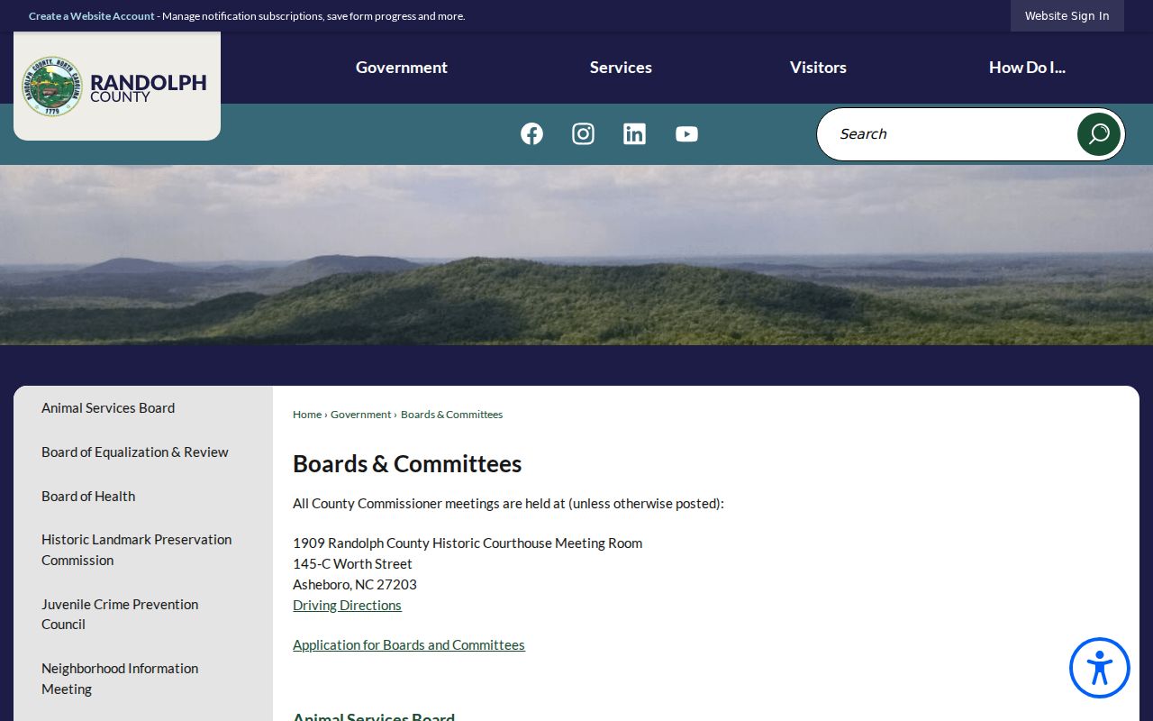
Randolph Boards and Committees appears in this Asheboro neighbors image. It helps distinguish public civic bodies from a private association.
Use a published board role only as an organization fact. Do not infer that a person belongs to a nearby household or private group.
Asheboro Voter-Record Limits
North Carolina Voter Lookup requires a first name, last name, and voter status, with optional middle initial, year of birth, and county. It can return public Asheboro voter details, jurisdictions, polling place, ballots when available, and voting history. It does not supply an anonymous Asheboro street list, and voting history never reveals ballot choices. A registration status can lag a move or administrative change.
N.C.G.S. §163-82.10 allows county and precinct lists subject to actual reproduction costs and a possible electronic-medium service charge of up to $25. The Randolph Board of Elections can confirm a lawful request's format and cost. Full dates of birth, SSNs, email, driver-license information, and ID images are confidential. ACP and protective-order processes also shield actual addresses.
| Official public record | Commercial compilation category | Meaning for a block search |
|---|---|---|
| Custodian-held parcel, deed, or voter material | Combined public, marketing, old-address, and inferred-household data | Use the official source for its dated field and verify it with the custodian. |
| Known access rules and correction route | Separate removal processes that may not change source records | Do not treat a commercial match as official confirmation. |
Asheboro Neighbor Privacy
North Carolina public-record access has limits. Chapter 132 opens existing public records but does not require a custodian to create a new block report. Full dates of birth, SSNs, email, medical and adoption information, signatures, and protected addresses should not be copied from an index. North Carolina's Address Confidentiality Program under Chapter 15C gives eligible participants a substitute address for mail, voting, driver license, and utilities.
Lawful use. Use public, source-labeled parcel facts for personal, lawful neighborhood research. Do not use records to watch, harass, intimidate, or harm anyone, and never attempt to locate a protected address.
A correction request and a private opt-out are not the same thing. North Carolina official sources did not identify an enacted broad data-broker deletion law. When a record seems wrong or unsafe, contact the office that holds it; for safety concerns, the North Carolina Address Confidentiality Program is the appropriate referral.